Mountain Navigation
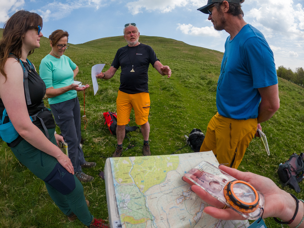
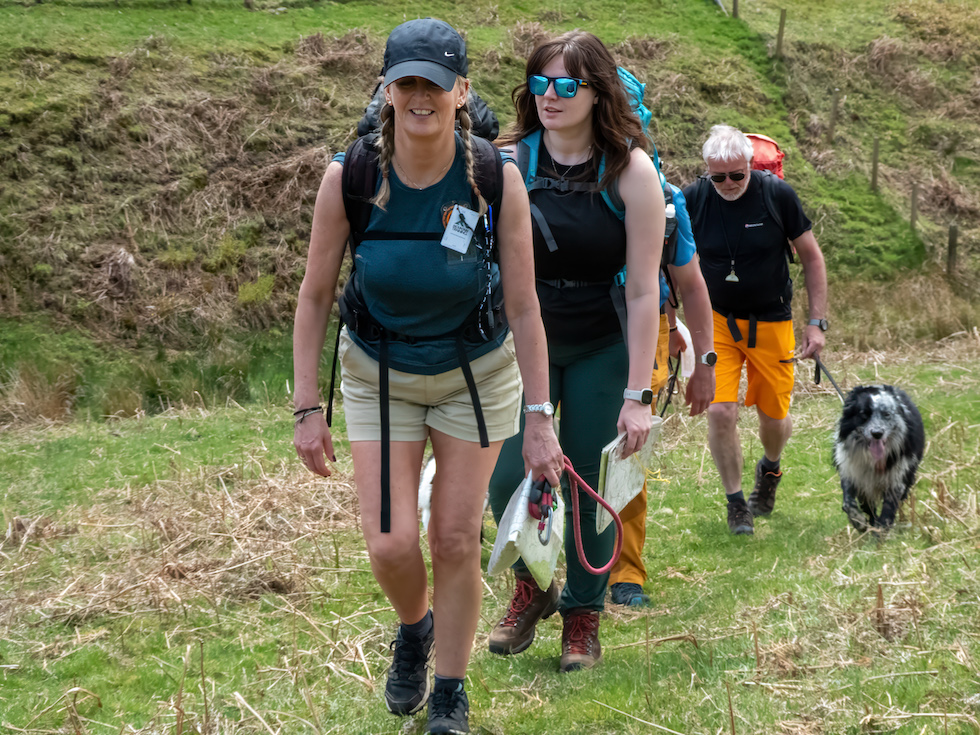
Do you know how to set a map? I thought I did until a couple of days ago when I joined Paul Mitchinson and a group of fellow walkers on the beautifully rugged Cheviot Hills on the Scotland/England border.
Paul’s mission is to teach anyone who is willing to learn, how to explore, enjoy and survive the amazing wild upland and mountainous regions of the British Isles. There is no shortage of people who want a taste of the ‘real world’, and how to safely navigate it. My personal opinion is that navigation with a map and compass is one of those skills that everyone should have under their belt.
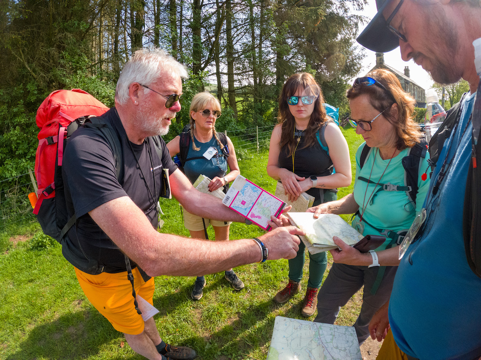
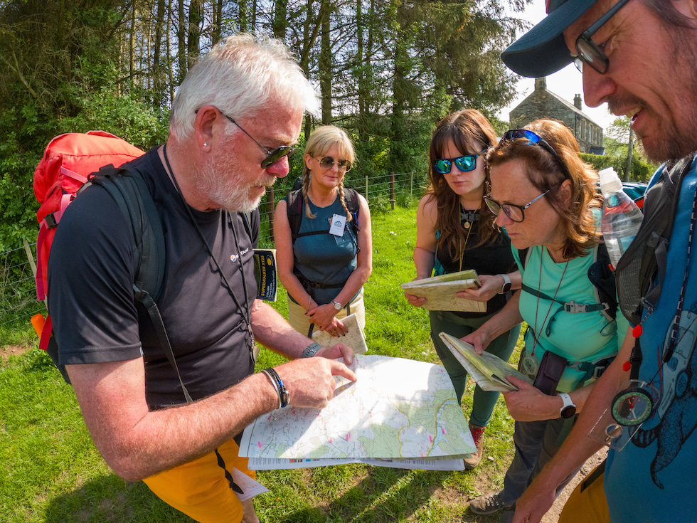
Within the first few minutes of meeting up at the Clennel Hall (a fantastic traditional hotel) near Alwinton, Paul walked everyone to a spot where we were shown exactly how to set a map (in less than 20 seconds). This was something I was taught 50+ years ago, and totally forgot until right then. What I do remember was that the lessons back in the day were a lot more complicated and took much more time.
Paul’s method of teaching is straight forward and easy to understand. Setting a map can be a strange concept to many, but he shows you how to get it done in double-quick time.
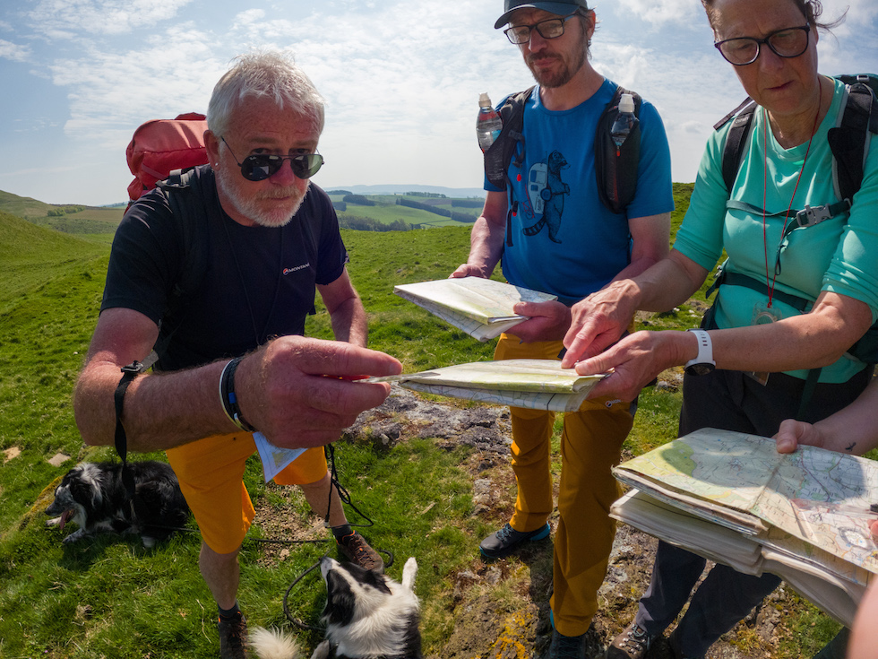
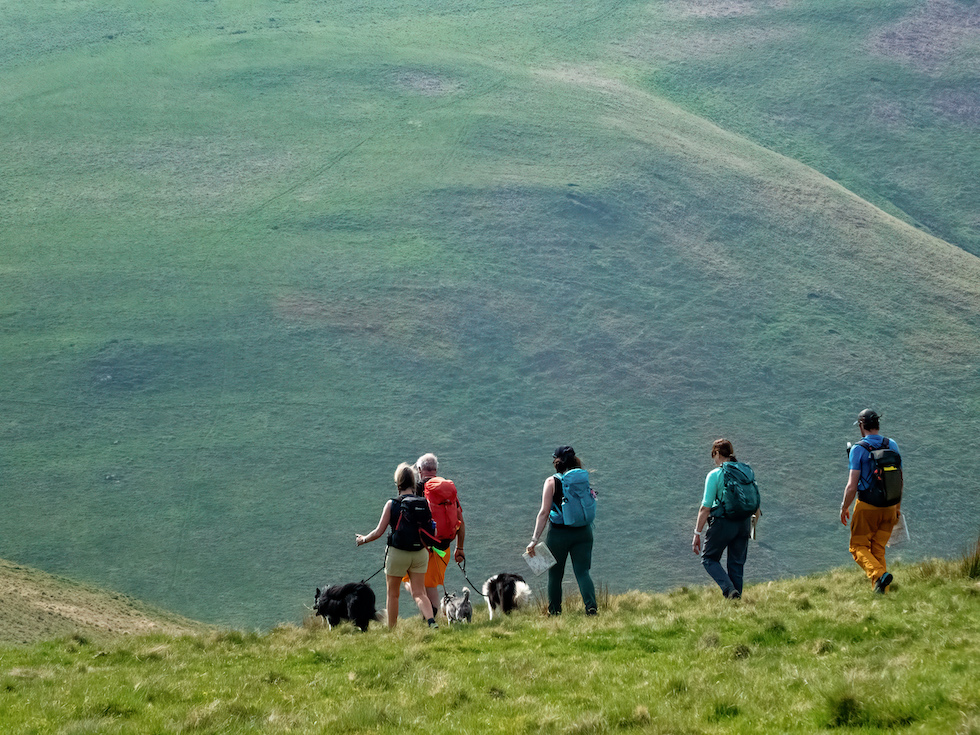
We set our maps and began the process of scanning the immediate surroundings and identifying features from the real world with those corresponding on the map. We then discovered our individual pacing, which entails counting the number of double steps you take to walk 100 metres, a very useful skill when out in the field.
I can’t explain how everything is done here, if you would like to get in touch with Paul he can definitely point you in the right direction.
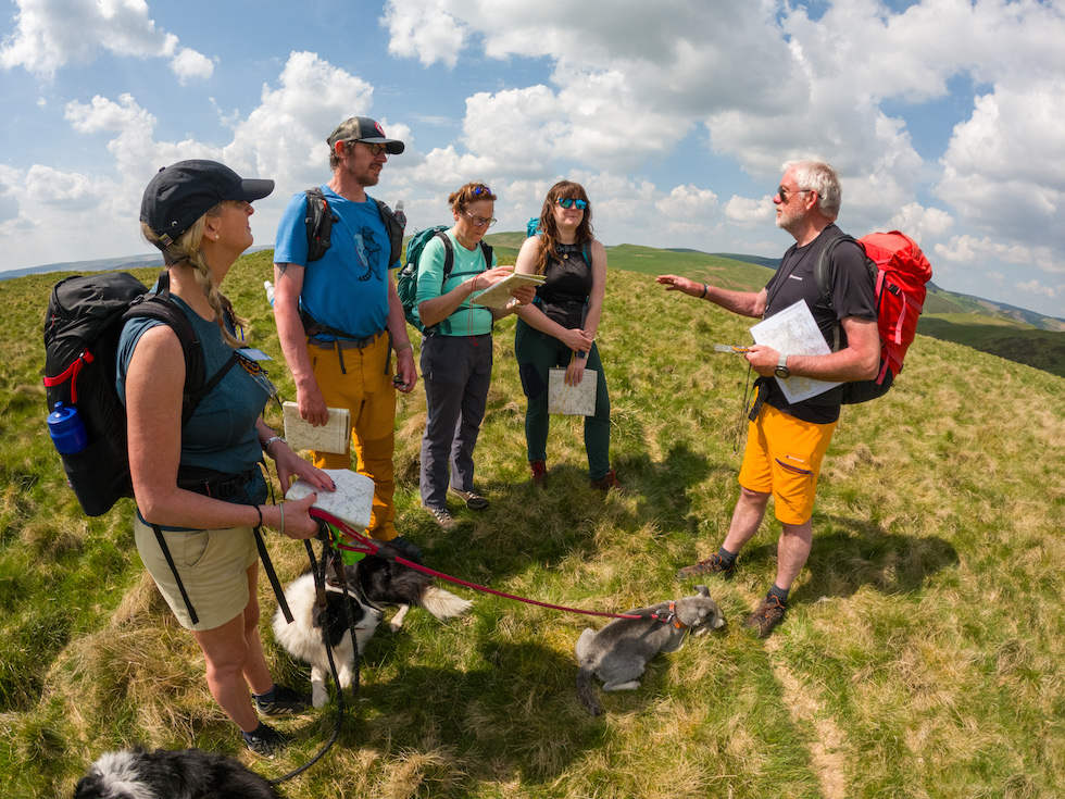
In this post I just wanted to share a few of the photos I took during the training session and give you Paul’s links... Web: https://www.northeastguides.com Email: info@northeastguides.com